UN
91 Heath Lane
£ 255,000
Description
We don't have a Description for this property.
- Bedrooms
- 3
- Bathrooms
- 0
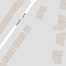

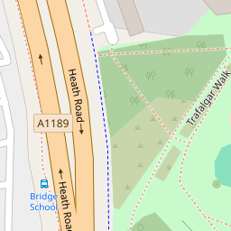
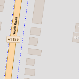

Leaflet © OpenStreetMap contributors
The heatmap indicates the level of crime in the area. The color of the heatmap indicates the crime severity and recency.
Metrics Year-on-Year
- Average area value
- 375,000.00 £Decreased by 11.79 %
- Average area rental value
- 946.00 £/moIncreased by 9.62 %
- Est rental Yield
- 3.03 %Increased by 24.18 %
- Crime Rate
- 5.00 %Unchanged by 0.00 %
from 425,107.00 £
from 863.00 £/mo
from 2.44 %
from 5.00 %
Nearby Schools
| Name | Type | Ofsted | Distance |
|---|---|---|---|
| Copleston High School | Academy Converter | Good | 0.78 KM |
| Broke Hall Community Primary School | Academy Converter | 0.82 KM | |
| St Alban'S Catholic High School | Academy Converter | Good | 0.98 KM |
| Chatterbox Children'S Centre | Children's Centre | 1.01 KM | |
| Quayside Children'S Centre | Children's Centre | 1.01 KM |
Images
Nearby Streets
| Name | Average Price | Average Sqft | Distance |
|---|---|---|---|
| The Boiler House | £ 311,500 | 0 | 0.00 KM |
| Ladywood Road | £ 0 | 0 | 0.00 KM |
| Halliwell Road | £ 375,000 | 0 | 0.00 KM |
| Coronation Road | £ 231,667 | 0 | 0.00 KM |
| The Drift | £ 300,000 | 0 | 0.00 KM |
Nearby Transport
| Name | NLC | TLC | Distance |
|---|---|---|---|
| Derby Road (Ipswich) | 7212 | DBR | 2.10 KM |
| Westerfield | 7226 | WFI | 4.88 KM |
| Ipswich | 7217 | IPS | 6.29 KM |
Nearby Listings
| Address | Price | Type | Score | Distance |
|---|---|---|---|---|
| Heath Road, Ipswich, IP4 | £ 380,000 | BUY | 7 / 10 | 0.10 KM |
| Heath Lane, Ipswich, IP4 | £ 325,000 | BUY | 6 / 10 | 0.12 KM |
| Heath Road, Ipswich | £ 350,000 | BUY | 7 / 10 | 0.18 KM |
| Gleneagles Drive, Ipswich, IP4 | £ 450,000 | BUY | 7 / 10 | 0.25 KM |
| Gleneagles Drive, Ipswich, Suffolk, IP4 | £ 475,000 | BUY | 6 / 10 | 0.29 KM |
Nearby Properties
| Address | Price | Distance |
|---|---|---|
| 89 Heath Lane | £ 144,995 | 0.00 KM |
| 81 Heath Lane | £ 140,000 | 0.00 KM |
| 85 Heath Lane | £ 215,000 | 0.00 KM |
| 91 Heath Lane | £ 255,000 | 0.00 KM |
| 99 Heath Lane | £ 241,000 | 0.00 KM |